

Save $10.00
Port guide / Louisiana / Louisiana
Morgan City fishing guide
Morgan City sits on the lower Atchafalaya River across Berwick Bay from Berwick, where the river, the Intracoastal Waterway and the Atchafalaya Basin meet. Saltwater anglers run south down the river past Shell Island to the Atchafalaya Delta Wildlife Management Area, or turn east through Deer Island Bayou into Four League Bay and Halters Island, mostly for redfish with speckled trout mixed in, and the same launches put bass anglers into the Basin. Unlike Cocodrie, the nearest guide to the east, this is river country: fresh Atchafalaya water shapes everything, so wind direction and the river stage decide where the reds are, and many locals fish for them out of bass boats.
10 ft, conditions now
Conditions now
Live from NOAA and the National Weather Service. Times show in your own time zone.
Today’s bite
A forecast built from live data and the calendar below. Not a catch report.
Working out today from the tides, water and calendar.
Tides
- Loading the next highs and lows from NOAA.
On the water now
- Water
- Checking
- Wind
- Checking
Marine forecast
Loading the National Weather Service forecast.
7 day forecast
National Weather Service, for Morgan City. Updates through the day.
- Loading the 7 day forecast.
NOAA tides, Berwick, Atchafalaya River, LA (opens in a new tab) NWS 7 day forecast (opens in a new tab) NWS marine forecast, Atchafalaya and East Cote Blanche Bays (opens in a new tab)
12 ft, the chart
Chart and depths
The official NOAA chart, centered on Morgan City. Depths, channels, reefs and markers, live from NOAA.
The NOAA chart loads when you scroll here.
15 ft, fishing reports
Fishing reports
What people are catching, on what, and where. Every report links to whoever wrote it. We do not write these ourselves.
Latest reports
From local captains, shops and outdoor writers. Newest first, last 14 days.
- Checking the latest reports.
Report sources: Louisiana Sportsman (opens in a new tab) The Daily Iberian Outdoors (opens in a new tab)
Straight from the dock
Reports sent to us by shops and captains on this guide. We check each one before it posts.
Checking for reports.
20 ft, what is biting
What is biting, month by month
When each fish is at its best around Morgan City. This month is marked.
| Species | Jan | Feb | Mar | Apr | May | Jun | Jul | Aug | Sep | Oct | Nov | Dec |
|---|---|---|---|---|---|---|---|---|---|---|---|---|
| Redfish | Good | Good | Slow | Slow | Slow | Slow | Slow | Slow | Slow | Peak | Peak | Good |
| Speckled trout | Slow | Slow | Slow | Slow | Slow | Slow | Slow | Slow | Slow | Good | Good | Slow |
Redfish
Peak: October, November
In October locals work moving water off the river points around Shell Island and the Delta WMA with spinnerbaits, Gulp on a jighead or shrimp under a popping cork, and on colder days they fish the passes at Halters Island with a Carolina-rigged shrimp in 4 to 6 feet.
Speckled trout
Trout show up now and then at the same fall redfish spots, and locals say the bite is better on a rising tide when the water is a little saltier.
30 ft, seasons and rules
Seasons and rules
Open and close dates we could confirm from official sources, plus where to check limits before you keep a fish.
Red snapper, Louisiana private recreational and state charter
The 2026 Louisiana season opened May 1, 2026, in state waters and federal waters off Louisiana. Bag limit and dates can change during the year.
Louisiana Department of Wildlife and Fisheries, 2026 Official page (opens in a new tab)
Red snapper, Louisiana private recreational and state charter
Closed August 9, 2026, reopened August 27 to 30 and September 4 to 7, 2026, then closed again September 7 until further notice. Does not cover federally permitted charter boats.
Louisiana Department of Wildlife and Fisheries, 2026 Official page (opens in a new tab)
Gag grouper, Louisiana state waters
Open September 1 to September 30, 2026.
Louisiana Department of Wildlife and Fisheries, 2026 Official page (opens in a new tab)
Gag grouper, federal Gulf waters
Open 12:01 a.m. September 1, 2026, to 12:01 a.m. October 1, 2026.
NOAA Fisheries, 2026 Official page (opens in a new tab)
Greater amberjack, federal Gulf waters
Open September 1, 2026, to 12:01 a.m. October 14, 2026, a 43 day season. Closed after that until September 1, 2027.
NOAA Fisheries, 2026 Official page (opens in a new tab)
Southern flounder, Louisiana state waters
Closed to recreational and commercial harvest October 15 through November 30 every year.
Louisiana Department of Wildlife and Fisheries, annual, applies to 2026 Official page (opens in a new tab)
40 ft, where to fish
Where to fish
- Channel
Lower Atchafalaya River points and Shell Island
Points along the river before and after Shell Island give up reds of 16 to 30 inches when the water is moving, best on a west wind.
- Marsh
Atchafalaya Delta Wildlife Management Area
Boat-only marsh and open water at the mouths of the Atchafalaya River and Wax Lake Outlet, about 25 miles south of town, popular for redfish, catfish, bass and bluegill.
- Bay
Four League Bay
Reached through Deer Island Bayou, it is the protected choice when the wind blows hard from the east.
- Pass
Halters Island
Shell bottom that always seems to hold reds; fish shrimp under a popping cork, and work the passes here when the weather turns cold.
- Marsh
Palmetto Bayou, Creole Pass and Shell Point
Points south of Halters Island that stay fishable on an east wind.
- Marsh
Point Au Fer
Locals run from Halters Island to Point Au Fer and across to the Delta WMA looking for green-tinted water and grass patches holding reds.
50 ft, launch and piers
Ramps and piers
Public launches and fishing piers. Fees and hours change, so check the link before you tow.
| Name | Type | Fee | Where |
|---|---|---|---|
| Joe C. Russo Memorial Boat Launch (opens in a new tab) | Ramp | Check | Hwy. 90 to Hwy. 70, Morgan City, LA |
| Lawrence J. Michel, Jr. Memorial Boat Landing (opens in a new tab) | Ramp | Check | Hwy. 182 to Myrtle Road to Youngs Road, Morgan City, LA |
| Lake End Park Boat Launch and Campground (opens in a new tab) | Ramp | Check | Hwy. 90 to Hwy. 70, Morgan City, LA |
| Berwick Boat Launch (opens in a new tab) | Ramp | Check | End of Utah Street at Bellevue/Front, Berwick, LA |
| Jesse Fontenot Memorial Boat Landing (opens in a new tab) | Ramp | Check | 700 River Road, Berwick, LA |
| R.J. Marcell Memorial Boat Ramp (opens in a new tab) | Ramp | Check | Lake Palourde Road under the bridge, Amelia, LA |
| Burns Point Launch and Campground (opens in a new tab) | Ramp | Check | End of Hwy. 317, Centerville, LA |
60 ft, bait, tackle and charters
Bait, tackle and charters
Where to get live and fresh bait, tackle and a guide. We are not paid to list anyone here.
Bait and tackle (3)
- Tackle shop
Ivy's Tackle Box and Marine Supply
Bait: custom-made baits
7209 Hwy 182 E, Morgan City, LA 70380
Freshwater and saltwater tackle, fishing licenses, aerial maps, marine supplies and boat rentals; open Monday to Friday, 8 am to 5 pm.
- Bait shop
Johnny's Seafood and Bait
Bait: saltwater shad, freshwater shad, pogies, catfish heads and bodies, dry bait, river shrimp, saltwater shrimp, worms, sardines
950 River Road, Berwick, LA 70342
Bait and seafood market on River Road in Berwick, across the river from Morgan City; also sells hooks, weights, lures, corks and engine oil.
- Store
Crappell's Fish Market
3200 Bellview Front Street, Berwick, LA 70342
Listed by the state tourism office as a bait shop; describes itself as a seafood restaurant and foodservice distributor.
Live bait comes and goes with the weather and the season. Call before you drive.
80 ft, asked and answered
Fishing Morgan City, asked and answered
Where do Morgan City anglers catch redfish in the fall?
Most run south down the Atchafalaya past Shell Island to the Delta WMA, or east through Deer Island Bayou into Four League Bay and Halters Island. Look for moving water on the river points, and for green-tinted water and grass patches between Point Au Fer and the Delta WMA.
How does the wind decide where to fish out of Morgan City?
On a west wind locals fish the river points around Shell Island. When it blows hard from the east they go into Four League Bay, where Halters Island, Palmetto Bayou, Creole Pass and Shell Point stay fishable.
How do I get to the Atchafalaya Delta WMA?
By boat only. It is marsh and open water at the mouths of the Atchafalaya River and Wax Lake Outlet, about 25 miles south of town, and locals run down the river past Shell Island to reach it.
Which NOAA station gives tides and water temperature for Morgan City?
Use Berwick, Atchafalaya River, station 8764044, right across the river from town. It has tide predictions and also reports water temperature and wind.
90 ft, the kit
What we would take to Morgan City
Sources for this guide (13), last checked 2026-10-27
- cajuncoast.com/activities/fishing-hunting/ (opens in a new tab)
- cajuncoast.com/wp-content/uploads/2023/10/2023-Boat-Launches-Info.pdf (opens in a new tab)
- wlf.louisiana.gov/news/2026-state-gag-grouper-season-to-open-september-1-and-close-october (opens in a new tab)
- explorelouisiana.com/fishing/crappells-fish-market (opens in a new tab)
- explorelouisiana.com/fishing/johnnys-seafood-and-bait (opens in a new tab)
- fisheries.noaa.gov/bulletin/noaa-fisheries-announces-2026-gag-recreational-season-federal- (opens in a new tab)
- fisheries.noaa.gov/bulletin/recreational-fishing-season-length-announcement-greater-amberj (opens in a new tab)
- louisianasportsman.com/fishing/inshore-fishing/redfish/diversify-your-fishing/ (opens in a new tab)
- louisianasportsman.com/fishing/inshore-fishing/redfish/morgan-city-angler-sets-his-sights- (opens in a new tab)
- wlf.louisiana.gov/news/flounder-season-set-to-close-october-15-to-november-30-for-commerci (opens in a new tab)
- wlf.louisiana.gov/news/rec-red-snapper-season-reopens-for-two-fourday-periods (opens in a new tab)
- wlf.louisiana.gov/page/atchafalaya-delta (opens in a new tab)
- wlf.louisiana.gov/page/red-snapper (opens in a new tab)


100 ft, the seabed
Gear up for Morgan City
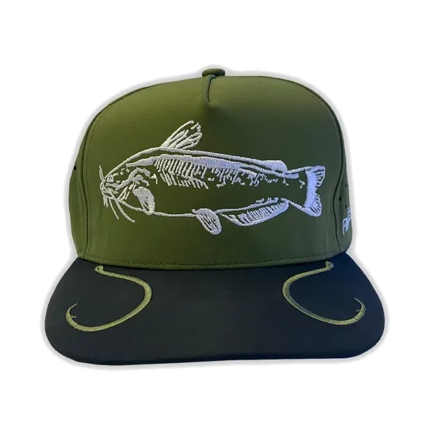
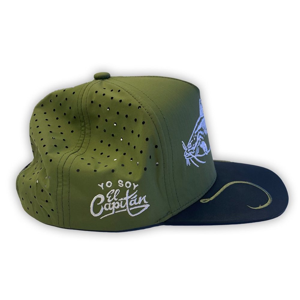
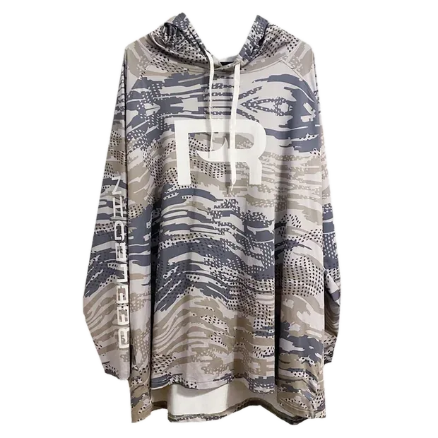
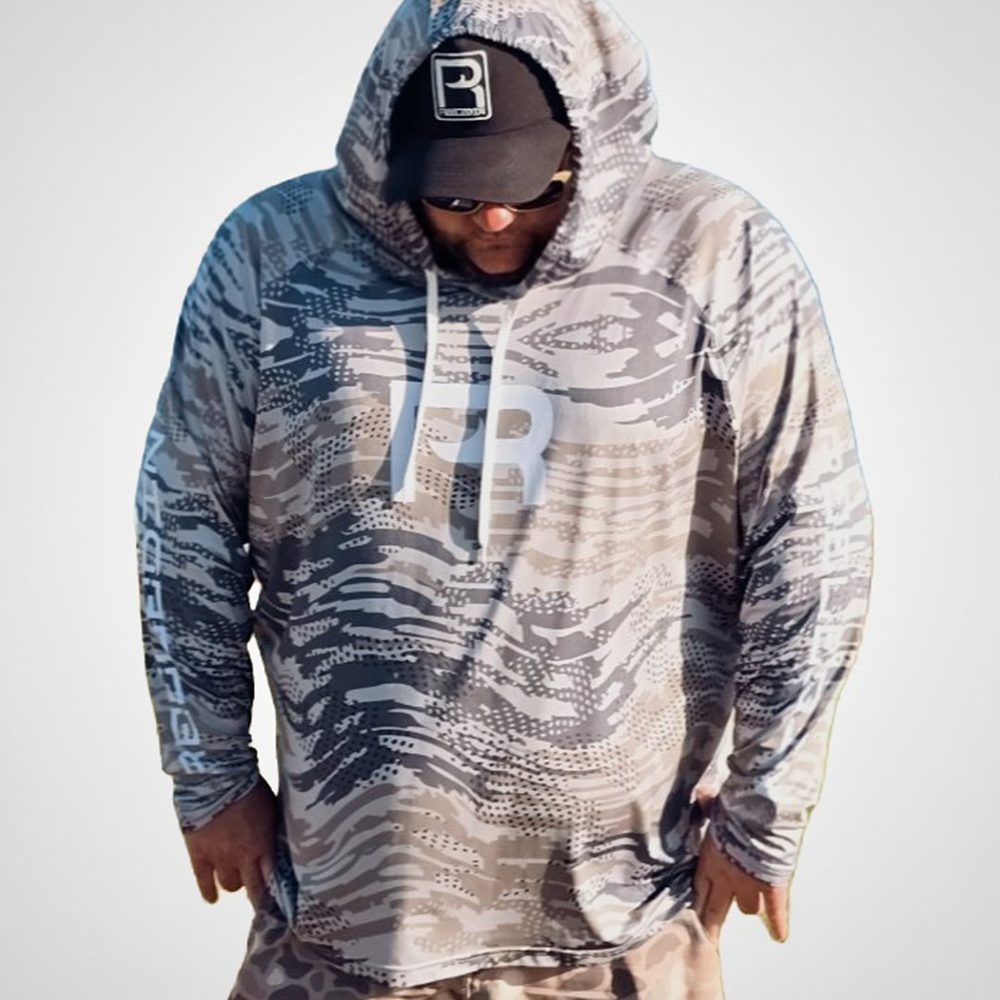
UPF 50+ fishing shirts, hats and gloves for the Gulf Coast. Free shipping over $100. Ships from Texas, usually within 1 to 2 business days.